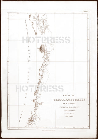
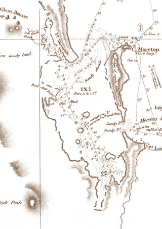
1814 Chart of the East Coast of Terra Australis, Sheet 2
Description
Beautiful chart of the eastern coastal areas of Terra Australis, primarily showing the surveys by Matthew Flinders in that area between 1799 (in the Norfolk) and 1802 (in the Investigator). Additions to the map were made in 1831. The map was originally published in 1814.
This is a map of the north coast of New South Wales from Smoky Cape to Moreton Bay in Queensland showing tracks of Norfolk in 1799 and Investigator in 1802.
The original of this map is Plate IX from A Voyage to Terra Australis by Matthew Flinders. Published as the Act directs by G. & W. Nicol, 1814.
This is a digitally retouched reproduction of the original held by the National Library of Australia. All prints are reproduced without the HOTPRESS watermarks.
Our team of conservators have worked on a high resolution digital image in order to remove blemishes and artifacts such as stains, mould, scratches and damage caused by the handling of the original. We strive to provide authentic representations of the original work that are suitable for enlargements that retain the tones and character of the original.


