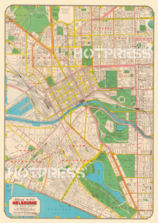
1947 Map of Melbourne
Description
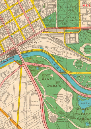
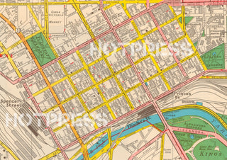
The original map was quite large - 64 x 47 cm, in order to display the incredible detail of the city's lanes. Therefore we recommend that if you intend using this map for research that you choose a print size of either A2, A1 or A0, so that the information is readable.
A beautiful 1947 map of Melbourne and adjacent suburbs. In this post-war era, most of the government, retail and service providers were located within the CBD of Melbourne. Maps such as this one were an invaluable accessory for those who needed to visit the centre of Melbourne and also to find out the available methods of transport.
The reverse of the original map had an index of all of the streets and their location on the map. Also listed were Places of Interest, Hospitals, and Baths & Wharves.
All text © HotPress
This is a digitally retouched reproduction of the original held by the State Library of Victoria. All prints are reproduced without the HOTPRESS watermarks.
Our team of conservators have worked on a high resolution digital image in order to remove blemishes and artifacts such as stains, mould, scratches and damage caused by the handling of the original. We strive to provide authentic representations of the original work that are suitable for enlargements that retain the tones and character of the original.
