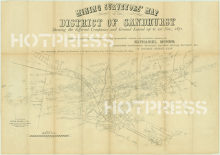
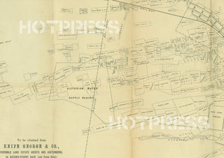
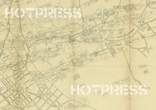
1871 Sandhurst - Mining Surveyor's Map
Description
A very detailed mining surveyor's map showing the different companies and ground leased up until 1st November, 1871.
Compiled by Nathaniel Munro, Authorised Government Surveyor, Certified Mining Surveyor, etc.
All text © HotPress
This is a digitally retouched reproduction of the original held by the State Library of Victoria. All prints are reproduced without the HOTPRESS watermarks.
Our team of conservators have worked on a high resolution digital image in order to remove blemishes and artifacts such as stains, mould, scratches and damage caused by the handling of the original. We strive to provide authentic representations of the original work that are suitable for enlargements that retain the tones and character of the original.


