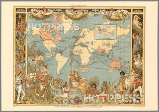
1886 Imperial Federation Map
Description
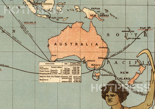
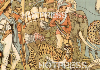
Imperial Federation - Map of the world showing the extent of the British Empire in 1886. Statistical information furnished by Captain J.C.R. Colomb, M.P. formerly R.M.A. Mclure & Co. Queen Victoria Street, London. British territories coloured in red. (Published as) Supplement to ''The Graphic'', July 24th, 1886. (Inset) Map of the world showing the extent of British territories in 1786
This is a digitally retouched reproduction of the original held by the Stamford University in California.
Our team of conservators have worked on a high resolution digital image in order to remove blemishes and artifacts such as stains, mould, scratches and damage caused by the handling of the original. We strive to provide authentic representations of the original work that are suitable for enlargements that retain the tones and character of the original.


