No USA orders accepted, sorry.
Currently, our fulfilment centre does not ship to USA, so no orders from USA accepted.
Please note : Orders after 15th December may not ship until after 15th January
Free standard shipping in Australia for orders over $99.
HotPress Images is proudly Australian-owned.
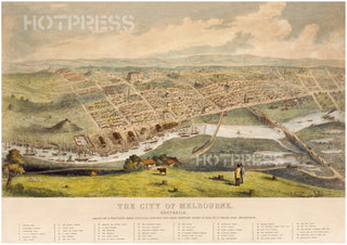
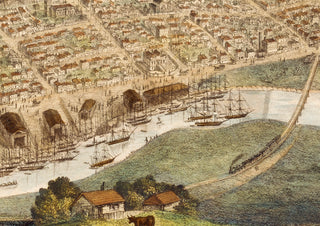
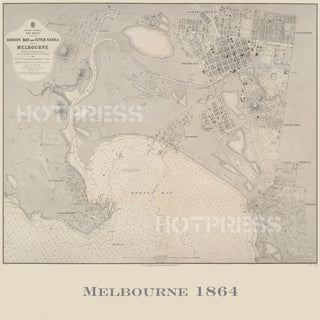
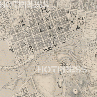
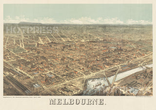
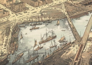
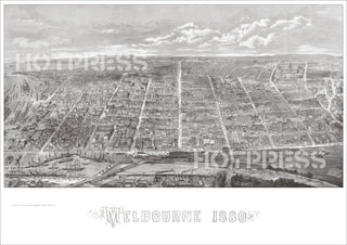
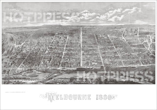
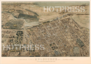
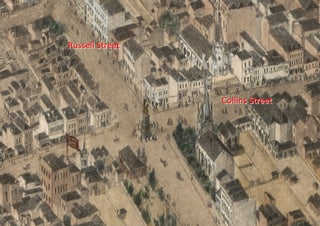
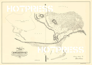
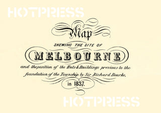
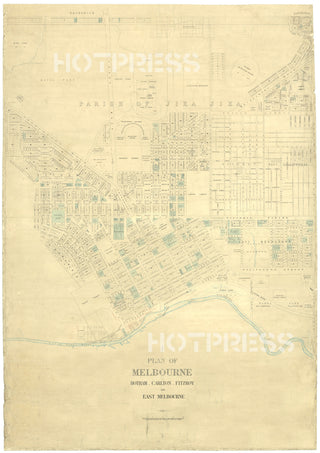
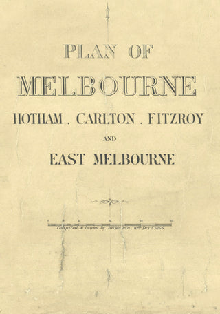
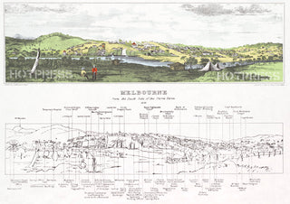
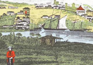
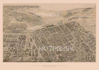
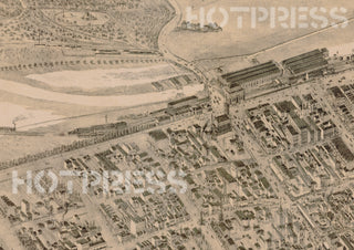
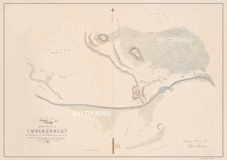
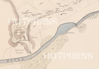
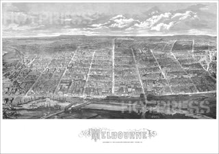
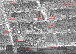
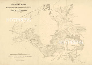
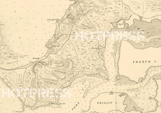
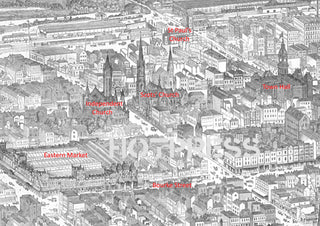
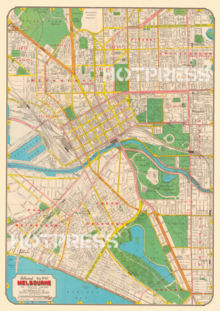
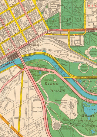
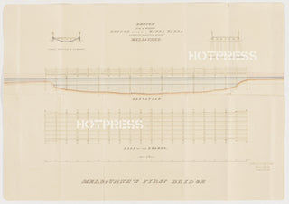
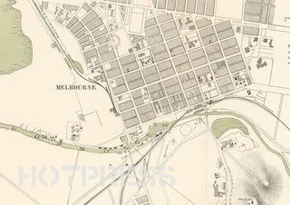
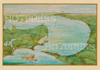
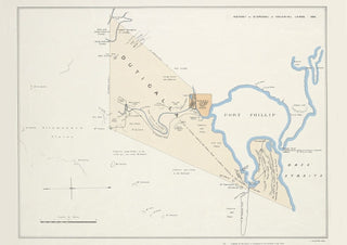
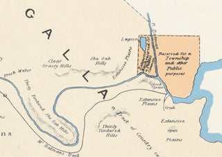
- Melbourne
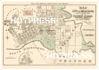
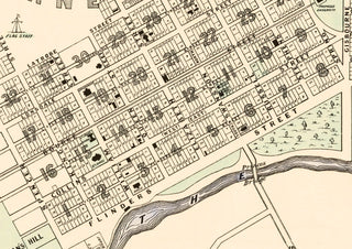
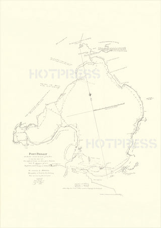
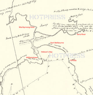
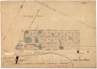
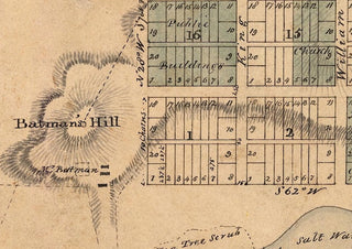
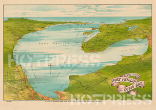
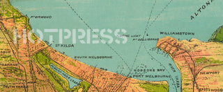
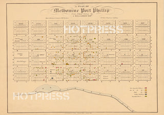
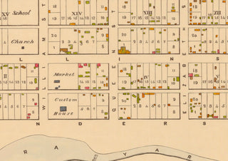
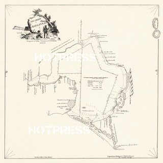
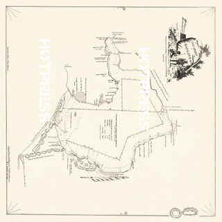
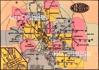
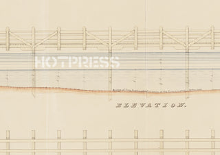
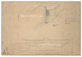
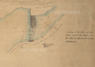
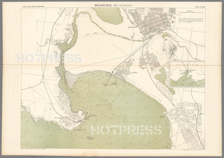
- Melbourne Maps
- Melbourne - Through the Years
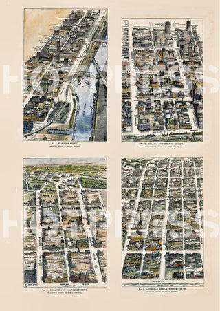
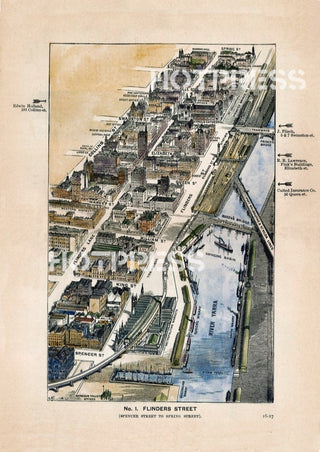
- Melbourne Streets
- Icons of Melbourne
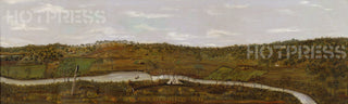
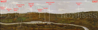
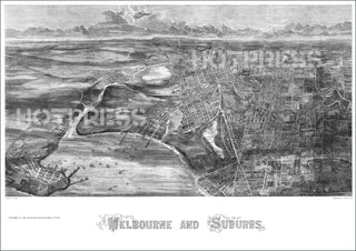
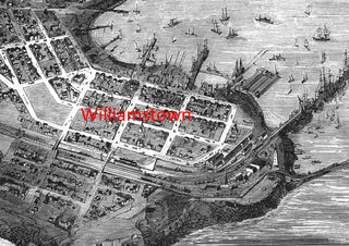
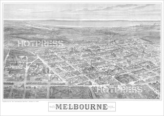
- Melbourne Panoramas
- Melbourne Postcards
Regional settings
We've sent you an email with a link to update your password.
Login
Reset your password
We will send you an email to reset your password.


Paper Grade
Choose from inexpensive right up to museum-grade papers, with gloss or matte finish.
Paper Size
Choose from A4, A3, A2, A1, A0 sizes to suit your wall size. Want something bigger or a custom shape, please contact us on our Contact page.
Delivery
Choose Standard or Express via Australia Post, with tracking provided on all orders.

By completing this form, you are signing up to receive our emails and you can unsubscribe at any time.